Teneo soil moisture, temperature and humidity sensors
Introduction
Within the frame of the SCOREwater project, the City of Amersfoort commissioned Hoefakker to install Teneo soil moisture and climate monitor sensors at several locations in the Schothorst neighbourhood and the Central Railway area. The sensors measure soil moisture, temperature and humidity. Schothorst and the Central Railway area differ in groundwater levels. In Schothorst the groundwater levels are higher (average height: 0.7 meter to 1.0 meter below ground level) than in the Central Railway area (average height: lower than 1.6 meter below ground level). The lowest soil moisture sensors are placed on 1.2 meter below ground level. As a result, in the Schothorst area the sensors are located close to or in the groundwater during winter. In the Central Railway area they are located far above the groundwater level. This makes both areas interesting to include. What all soil moisture sensors have in common is that they are all located nearby trees and in public spaces. Locations differ in terms of: being in the sun or in the shade, being in a green setting (unpaved, such as parks) or being in a paved setting, and being near surface water or not. Because of the differences between the locations the sensors have been installed in, data from the sensors can be used to investigate questions such as:
- What is the influence of the type of surface on soil moisture levels?
- Does the nearby presence of surface water affect soil moisture?
- What is the influence of heat on soil moisture?
- What is the relation between groundwater levels fluctuance and soil moisture?
- Are adjustments on in public spaces (on street level) helpful to improve the soil situation for a more climate adaptive city?
Contents of the data
Data are being harmonized using FIWARE Smart Data Models. Data regarding soil moisture can be modelled using the GreenSpaceRecord model. The data in this dataset provide the following elements from this data model:
- id - identifier of the sensors
- recordingTimetamp - timestamp of the measurement
- location - GPS location of the sensor, GeoJSON with WGS84/EPSG:4326 coordinate
- soilMoistureVwc - percentage Volumetric Water Content of soil
Meteorological data can be modelled using the WeatherObserved model. The data in this dataset provide the following elements from this data model:
- id - identifier of the sensors
- recordingTimetamp - timestamp of the measurement
- location - GPS location of the sensor, GeoJSON with WGS84/EPSG:4326 coordinate
- temperature - temperature in degrees Celsius
- relativeHumidity - percentage relative humidity
Access the data
Data are available using different API's:
- Archives of the data are available as a CKAN resource for both GreenSpaceRecord entities and WeatherObserved entities. Once a week, data from the live datasets is archived in this CKAN package which allows for a) previewing the data, b) a CSV download and c) CKAN datastore API access to the data.
- The Orion ContextBroker allows you to access the current status of entities. Use the information provided by the Orion ContextBroker to compile requests for the Short Term History API. the ContextBroker provides information on which entities are present and what attributes those entities support.
- The Short Term History API allows you to download historical data for the different sensors in both raw and aggregated form in either JSON or CSV format:
- The OGC web services allows you to render maps of the sensors and to download historical data in different formats such as CSV, GML and shape file.
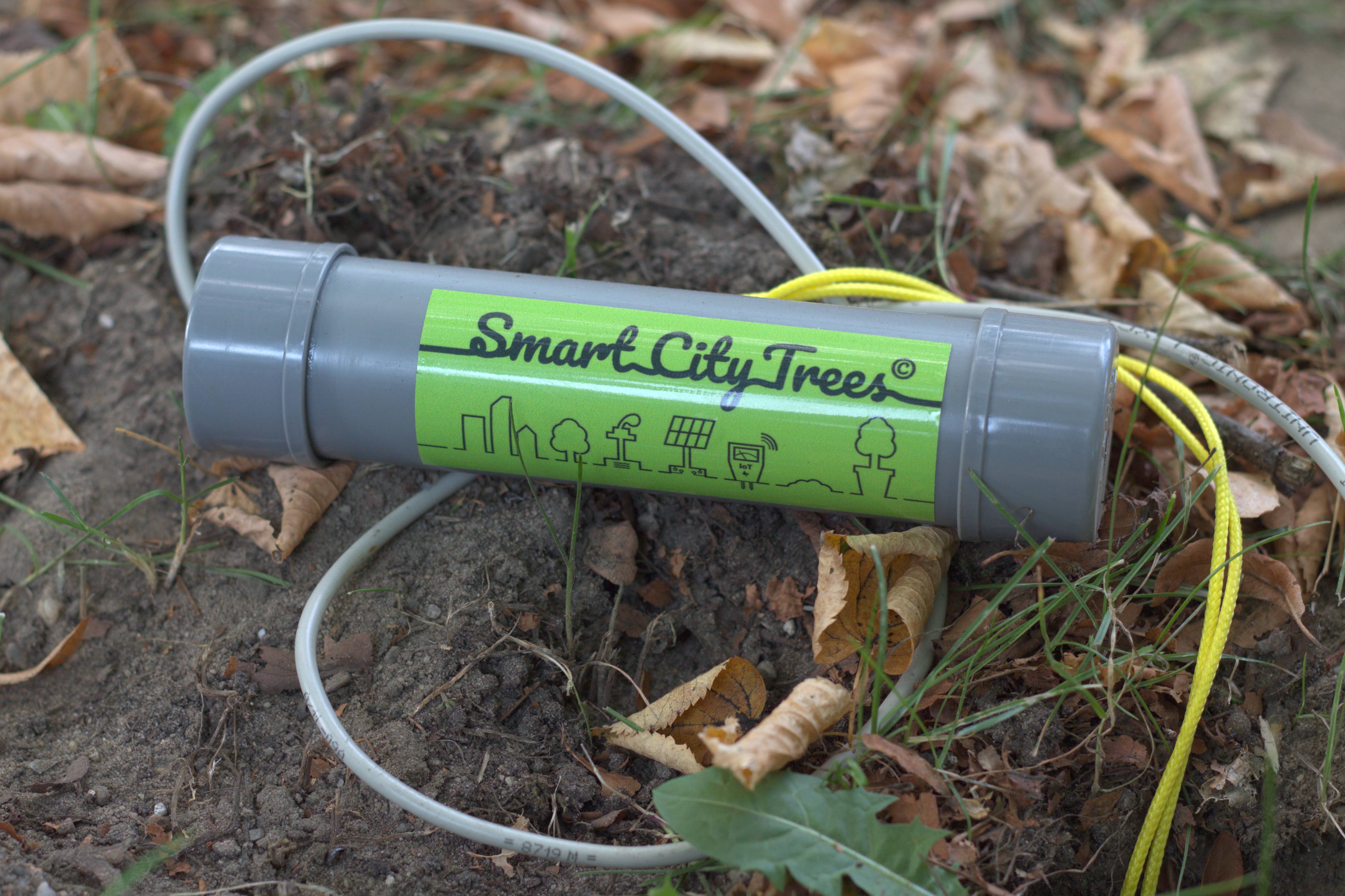
Teneo soil moisture sensors (branded as Smart City Trees by Hoefakker)
Data en bronnen
-
Current GreenSpaceRecord entities
Current state of GreenSpaceRecord entities
-
Current WeatherObserved entities
Current state of WeatherObserved entities
-
Symbolization Teneo soil moisture, temperature...SLD
Simple symbolization which just renders a point on the location of the sensor...
-
Measurements
Flexyz measurements
-
FTP files
FTP files uploaded to FTP server by Flexyz
-
Hoefakker Smart City Trees sensorkitJPEG
Hoefakker Smart City Trees sensorkit
Extra Informatie
| Veld | Waarde |
|---|---|
| Taal | Engels |
| Taal van de metadata | Engels |
| Thema | Natuur en milieu |
| Subthema | Bodem |
| Verstrekker / Publiceerder | Gemeente Amersfoort |
| Registratiehouder / Data-eigenaar | Gemeente Amersfoort |
| Type contactpunt | Organisatie |
| Naam contactpunt | Servicedesk |
| E-mail contactpunt | servicedesk@civity.nl |
| Telefoon contactpunt | |
| Locatie | Gemeente |
| Geografisch gebied | Amersfoort |
| Einddatum | |
| Toegangsrechten / Openbaarheid | Publiek |
| Status | Beschikbaar |
| Uitgiftedatum | |
| Type verandering | bijgewerkt |
| Geplande datum | |
| Updatefrequentie | voortdurend geactualiseerd |
| Versie | |
| Versietoelichting | |
| Ruimtelijk referentiesysteem | |
| Omgrenzende rechthoek | |
| Resolutie | |
| Toepassingsschaal | |
| Publiceren Geoserver | Ja |
| Publiceren Geonetwork (NGR) | Nee |
| Publiceren DONL (niet via NGR) | Nee |
| Toon in Carrousel | |
| Volgorde in Carrousel. | |
| Carrousel afbeelding | |
| Carrousel tekst |